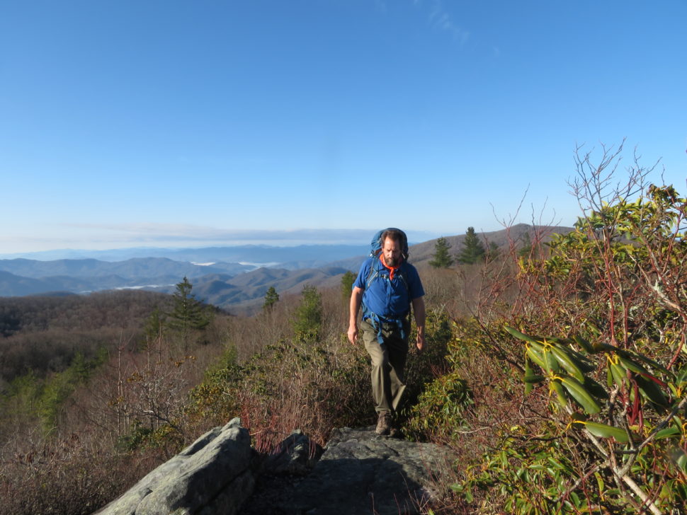
Follow along with outdoorsman and writer Johnny Molloy as he treks through the mountains of Northeast Tennessee.
Northeast Tennessee is a backpacker’s paradise. With more than 220 miles of the Appalachian Trail coursing through the area, the mountains create a backbone for overnight loops when combined with trails in the Cherokee National Forest. So grab your grub, fill your water bottle, and strap on your pack for some exciting overnight hiking adventures.
Shady Valley Loop
An exciting 3-4 night is the 41-mile loop circling Johnson County’s bucolic Shady Valley. Start on the lesser used Iron Mountain Trail, cruising a high ridgeline, making your way through Damascus, Va. to join the Appalachian Trail (AT), returning to Tennessee atop Holston Mountain. The trip offers ample views, campsites, shortcuts and bailouts, as well as a chance to resupply in Damascus, Va. This trail makes for a great trip with views, trail town stops, and no need for a shuttle since you’ll be backpacking through a loop.
Bald Mountains Scenic Area
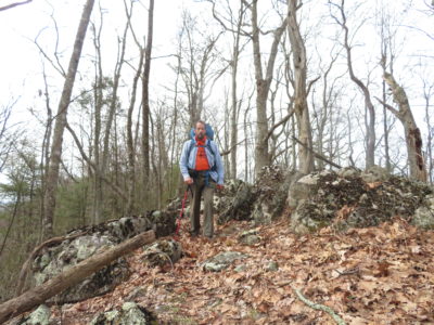
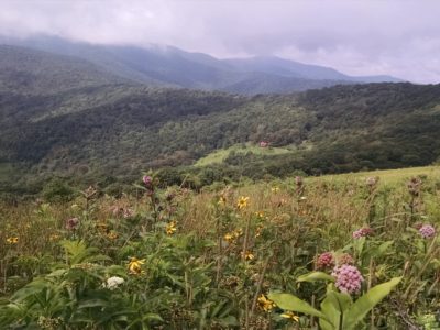
Backpacking adventures of up to four nights along Bald Mountain can be challenging with lightly marked trails that connect to the well-used and maintained AT. The Bald Mountains Scenic Area is deserving of the name. Along with adjacent Shelton Laurel Backcountry in North Carolina’s Pisgah National Forest, this area delivers beauty and ruggedness, all within a 25,000 acre slice of the Southern Appalachian paradise. This route features waterfalls, homesites, remote creeks – and very few people off the AT. Highlights include views from Big Firescald Knob, White Rocks, the Blackstack Cliffs, and the fields of Coldspring Mountain. The wildflower filled valleys feature small trouty streams that require repeated fording.
Be prepared for rugged, primitive, lightly marked and maintained paths that collectively create a challenging rollercoaster ride between steep sided stream hollows and the ridges that divide them. The trails are truly challenging and seeing the everywhere-you-look beauty must be earned. Campsites can be found on the Appalachian Trail, but are more limited on the lesser used trails, though savvy backpackers can find small flats suitable for overnighting.
Note: Be aware that trails in this area can be overgrown by mid-summer.
Laurel Fork
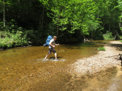
Make a scenically diverse 21-mile loop exploring the waterfall valley of upper Laurel Fork, repeatedly fording the creek with waterfall views before joining the Appalachian Trail.
Starting at Dennis Cove, this deceptively challenging backpack goes deep into the recesses of the Cherokee National Forest. Trips can last up to three nights, as campsites are well spaced out. A total of 18 stream fords on Laurel Fork make this a popular warm season adventure. After Laurel Fork, a short spur takes you to Forest Road 293. Walk this quiet gravel road to pick up the Appalachian Trail, leading to the slopes of White Rocks Mountain. There are several campsites, including a shelter. After leaving the AT, join the Coon Den Falls Trail before completing the trip.
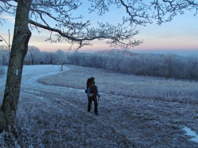
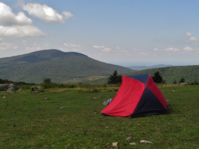
Roan Highlands
Trace an unmatched section of the Appalachian Trail on this 30-mile end-to-end backpack, starting near Unicoi at Iron Mountain Gap and making your way up to 6,285 feet Roan High Knob. From there, cross the world famous balds with year-round panoramas, ending at US 19E. Campsites and shelters are nearby, including the highest shelter on the entire Appalachian Trail. You’ll find water and campsites along the route, enabling you to adjust your daily mileages on the fly. This hike can take anywhere between two and four days. Since this is an end-to-end hike, you will either need two cars or a shuttle.
Note: The Roan Highlands can be bitterly cold in winter and navigating your way across the balds in fog, snow, or rain can be challenging.
Mount Rogers High Country
Just over the Tennessee state line is Virginia’s Mount Rogers High Country. With the Old Dominion’s highest elevations, Mount Rogers makes a highlight reel hike amid meadows, spruce-fir forests, rock spires and mountain streams. The trail changes with the landscapes with narrow track, wide equestrian trails, deep woods, and rock-strewn paths. Additionally, the high country includes popular Grayson Highlands State Park, featuring the wild horses. Most trips embark from Elk Garden on the Appalachian Trail, starting high and rising higher in the Lewis Fork Wilderness, near Mount Rogers, standing at 5,429 feet. Campsites and water can be found throughout the area.
Note: Mount Rogers can host the harshest weather in Virginia. Be prepared for cloudy, windy, foggy, and rainy weather any time of year. In winter, conditions can be brutal.
Guided Trips
For guided day and overnight backpacking trips, we recommend White Blaze Outdoors.
Backpacking Tips
Avoid nice weather weekends and holidays if you are seeking solitude. Our trails can be very busy with both day hikers and backpackers.
Leave No Trace
Remember to leave our trails with no trace, so adventures can last a lifetime. Find out how you can make a difference with our leaders for litter-free Tennessee efforts.

Johnny Molloy is the author of many outdoor guides including Best Tent Camping: Tennessee, Paddling Tennessee, and Five Star Trails Tri-Cities: East Tennessee and Southwest Virginia.